Tungnath Distance Chart 2026
Category: Travel | Updated On: September 20, 2026 | Published: December 18, 2025
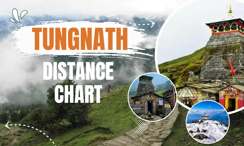
Tungnath is 3.5 km from Chopta (the last motorable point), 60 km + a 16 km trek from Kedarnath, 139 km from Badrinath, 204 km from Rishikesh, and 444 km from Delhi. Distances to trekking-only destinations such as Kedarnath and Rudranath are road-plus-trek figures; distances between motorable towns are road distance via NH 107/107A, cross-checked against Google Maps, last verified September 2026.
Tungnath temple is the highest Shiva temple in the world, located in the Rudraprayag district of Uttarakhand at an altitude of 3,680 meters (12,073 ft). Also a popular trekking destination and part of the Panch Kedar Temples. If you're also planning to visit Kedarnath, check out our Kedarnath tour package from Haridwar.
People oftenly visit this site by opting for a Chopta-Tungnath Package for a hassle-free experience.
Tungnath trek distance offers an amazing view and an unforgettable experience with beautiful scenery. To explore it stress-free, we have customised an ultimate Tungnath distance chart, including the Tungnath temple trek distance from major cities and nearby places.
Table of Contents
- Comprehensive Tungnath Distance Chart 2026
- तुंगनाथ की दूरी (Tungnath Distance in Hindi)
- Frequently Asked Questions
- Chopta To Tungnath Distance
- Tungnath to Badrinath Distance
- Tungnath to Kedarnath Distance
- Tungnath to Rudranath Distance
- Tungnath to Kartik Swami Temple Distance
- Panch Kedar Circuit: Covering Kedarnath, Tungnath, Rudranath, Madhyamaheshwar & Kalpeshwar
- Tungnath Distance From Haridwar, Rishikesh, Delhi & Dehradun
- Tungnath Distance From Nearby Places & Major Cities
Comprehensive Tungnath Distance Chart 2026
A well-known place to explore in the Garhwal region of Uttarakhand with a divine, spiritual and stunning view of the Himalayas.
Here is the complete Tungnath distance chart covering the major cities in India, and all the nearby places and attractions from there. Providing our best to make your journey unbothered and stress-free with our guidance.
|
From / Place |
Distance (km) |
Travel Time (Approx.) |
|
Chopta Trek (Base Point for Trek) |
3.5 km (trek) |
1.5–2 hrs (Easy) |
|
Chandrashila Peak |
5 km one way (3.5 km Chopta–Tungnath + 1.5 km Tungnath–Chandrashila); 10 km round trip |
2–3 hrs (beyond Tungnath) |
|
Deoriatal Lake (Scenic Trek) |
20 km via Sari Village (mostly by road; the final stretch from Sari Village is a 2 km trek one way, 4 km round trip) |
1 hr + 1.5 hr trek |
|
Ukhimath (Winter Seat of Kedarnath) |
29.1 km |
1 hr |
|
41.9 km |
1.5 hrs |
|
|
Kalimath Temple (Shakti Peeth) |
50 km |
2 hrs |
|
55 km |
2 hrs |
|
|
Sonprayag |
55 km |
2 hrs |
|
60 km + trek |
6–8 hrs (including trek) |
|
|
Gaurikund (Base of Kedarnath Trek ) |
70 km |
2.5 hrs |
|
Rudraprayag (Mandakini–Alaknanda Confluence) |
69.9 km |
2–2.5 hrs |
|
70 km road + 20–24 km trek |
7–9 hrs (road + trek) |
|
|
65 km road + 3 km trek |
2–2.5 hrs (road + trek) |
|
|
Madhyamaheshwar Temple (Panch Kedar) |
90 km road to Gaundar + 16 km trek |
8–10 hrs (road + trek) |
|
Srinagar Garhwal |
90 km |
3–3.5 hrs |
|
87.4 km |
2h 50m |
|
|
100 km |
3–4 hrs |
|
|
120 km |
4 hrs |
|
|
130 km |
4–5 hrs |
|
|
135 km |
5–6 hrs |
|
|
140 km |
5 hrs |
|
|
Kalpeshwar Temple (Panch Kedar) |
101 km |
3h 39m |
|
Auli (Ski Resort) |
105–110 km |
4–5 hrs |
|
139 km |
4h 38m (Maps, non-stop); 6–7 hrs with halts |
|
|
150 km |
6 hrs |
|
|
165 km |
6.5–7.5 hrs |
|
|
Vasudhara Falls (near Badrinath) |
170 km |
7–8 hrs (via trek) |
|
Rishikesh |
204 km |
6–7 hrs |
|
Haridwar |
228 km |
7–8 hrs |
|
Dehradun (Jolly Grant Airport) |
243 km |
6–7 hrs |
|
Uttarkashi (Gateway to Gangotri ) |
250 km |
8–9 hrs |
|
Muzaffarnagar |
305–310 km |
8.5–9 hrs |
|
Bijnor |
314 km |
8.5 hrs |
|
330 km |
10–11 hrs |
|
|
Meerut |
357 km |
9 hrs |
|
Hapur |
396 km |
10 hrs |
|
Chandigarh |
442 km |
10–11 hrs |
|
Delhi |
444 km |
~10h 21m |
|
Ahmedabad |
1,250 km |
18–20 hrs |
|
Mumbai |
1,680 km |
24–28 hrs |
तुंगनाथ की दूरी (Tungnath Distance in Hindi)
केदारनाथ से तुंगनाथ की दूरी लगभग 60 किमी सड़क मार्ग और उसके बाद 16 किमी की चढ़ाई है, क्योंकि दोनों धाम सीधी सड़क से नहीं जुड़े हैं। ऋषिकेश से तुंगनाथ की दूरी लगभग 204 किमी है, जिसमें 6–7 घंटे लगते हैं। बद्रीनाथ से तुंगनाथ की दूरी 139 किमी है (गूगल मैप्स के अनुसार बिना रुके लगभग 4 घंटे 38 मिनट)। रुद्रप्रयाग से तुंगनाथ की दूरी 69.9 किमी और उखीमठ से मात्र 29.1 किमी है। देहरादून से तुंगनाथ की दूरी लगभग 243 किमी और हरिद्वार से 228 किमी है।
Frequently Asked Questions
More To Read On This Topic |
Chopta To Tungnath Distance
Chopta is a famous place renowned as the Mini Switzerland of India , which serves as the base for the Tungnath trek. The Chopta Tungnath trek distance offers the most scenic and serene view of the lush green landscape and snow-capped mountain peaks.
Chopta offers a 3.5-kilometre short trek to the highest Shiva Temple in the world, Tungnath Temple. The trek difficulty is Easy, perfect for both beginners and experienced trekkers.
The Chopta to Tungnath trek distance is approximately 3.5 km, which takes 1.5 to 2 hours to reach the Tungnath Temple.
Tungnath to Badrinath Distance
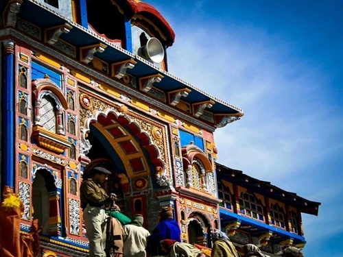
Tungnath to Badrinath is 139 km by road via NH 107A and NH 7, through Chopta, Gopeshwar and Joshimath. Google Maps shows a non-stop drive time of about 4h 38m; with the usual halts for food, photo stops and hill-road traffic, budget 6–7 hours in practice — both figures are real, they just answer different questions. You may see slightly lower figures (around 120–130 km) published elsewhere for this leg; those typically measure from Chopta rather than from Tungnath itself, or assume a marginally shorter alignment through Joshimath — our 139 km is measured temple-to-temple along the standard NH 107A/NH 7 route.
Tungnath (3,680 m / 12,073 ft) is higher than the Badrinath temple itself (3,100 m / 10,170 ft), even though Badrinath sits deeper into the high Himalaya and feels more remote. Most pilgrims do not attempt both temples in a single day — Tungnath alone needs a 3.5 km trek in and out, so it is normally treated as a separate leg of the same yatra, either before or after Badrinath, with a night halt at Chopta or Joshimath in between.
Tungnath to Kedarnath Distance
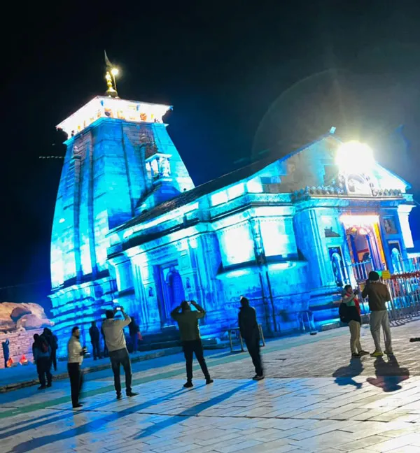
Tungnath to Kedarnath is 60 km by road to Gaurikund, plus the 16 km trek from Gaurikund to the temple — there is no direct road or trail connecting the two temples. You'll see figures anywhere from 31 km to 230 km quoted for this pair online; the gap is almost always because a source is quoting straight-line (aerial) distance, a partial leg, or a full multi-day circuit distance instead of the actual road-plus-trek route. The 60 km + 16 km trek figure above is the real one-way travel distance.
Sequencing: most itineraries do Tungnath first (it's the shorter, easier trek) via Chopta, then continue to Sonprayag and Gaurikund for the Kedarnath trek, or the reverse. Doing both in one trip typically needs 4–5 days end to end.
Tungnath to Rudranath Distance
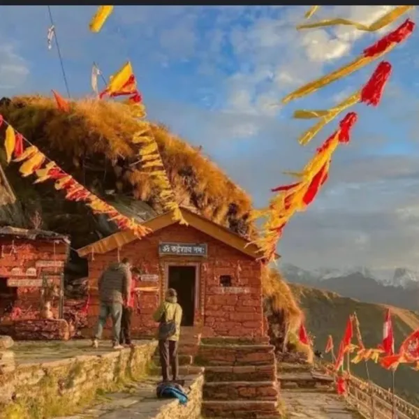
Tungnath to Rudranath Temple, another of the Panch Kedar shrines, is about 70 km by road to the Sagar village base, plus a demanding 20–24 km trek to the temple — considerably longer and tougher than the Tungnath or Kedarnath treks. You may see other figures published for this leg; road distance depends heavily on which base village a source measures from (Sagar vs Panar vs Gopeshwar), which is the likely source of any mismatch. We measure from Sagar village, the most commonly used trailhead.
Tungnath to Kartik Swami Temple Distance
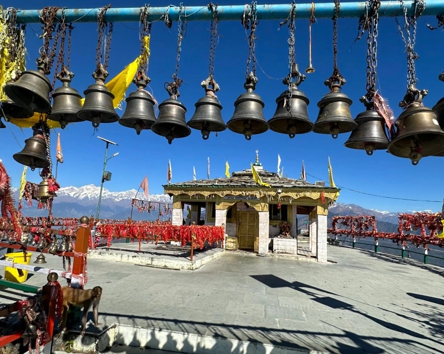
Tungnath to Kartik Swami Temple is approximately 65 km by road via Rudraprayag and Kanak Chauri, plus a short 3 km trek from the Kanak Chauri parking area to the temple. Kartik Swami sits on a narrow ridge with 360-degree Himalayan views and is increasingly combined with Chopta–Tungnath as a two-temple trip from the same base.
Panch Kedar Circuit: Covering Kedarnath, Tungnath, Rudranath, Madhyamaheshwar & Kalpeshwar
The five Panch Kedar temples — Kedarnath, Tungnath, Rudranath, Madhyamaheshwar and Kalpeshwar — are spread across the same stretch of the Garhwal Himalayas but are not directly connected by road or trail to each other. A full circuit is usually sequenced Kedarnath → Tungnath (via Chopta) → Rudranath (via Sagar) → Madhyamaheshwar (via Ukhimath and Gaundar) → Kalpeshwar (via Helang and Urgam Valley), and realistically takes 9–12 days covering trekking, road transfers and rest days.
| Panch Kedar Temple | Base Village | Trek Distance | Access |
| Kedarnath | Gaurikund | 16 km one way | Trek or pony/palki |
| Tungnath | Chopta | 3.5 km one way | Trek or pony |
| Rudranath | Sagar village | 20–24 km one way | Trek only, no pony |
| Madhyamaheshwar | Gaundar | 16 km one way | Trek only |
| Kalpeshwar | Urgam Valley | Motorable to the temple | Only Panch Kedar temple reachable by road |
Tungnath Distance From Haridwar, Rishikesh, Delhi & Dehradun
Full route breakdowns, road conditions and city-specific travel tips for each of these live on their own dedicated distance charts — this page covers Tungnath's own distance figures only, to avoid two pages competing for the same search. Secondary gateway cities without a dedicated distance chart of their own — Meerut, Muzaffarnagar, Bijnor and Hapur — are covered in the comprehensive table above rather than here, for the same reason.
- Haridwar to Tungnath: 228 km, 7–8 hrs — see the Haridwar distance chart
- Rishikesh to Tungnath: 204 km, 6–7 hrs — see the Rishikesh distance chart
- Delhi to Tungnath: 444 km, ~10h 21m by road via Haridwar and Rishikesh
- Dehradun to Tungnath: 243 km, 7–8 hrs — see the Dehradun distance chart
Tungnath Distance From Nearby Places & Major Cities
The route to the Tungnath temple covers the most scenic views, giving places, including Devprayag , Rudraprayag, Rudranath Temple, Dhari Devi Temple, Kalimath Temple, and more.
Chopta to Tungnath distance: 3.5 kilometres
Tungnath to Badrinath distance : 139 kilometres
Makkumath to Tungnath distance: 26.3 kilometres
Srinagar to Tungnath distance: 90 kilometres
Kedarnath to Tungnath distance: 60 kilometres + 16 km trek
Kartik Swami Temple to Tungnath distance: 65 km road + 3 km trek
Rudraprayag to Tungnath distance: 69.9 kilometres
Ukhimath to Tungnath distance: 29.1 kilometres
Tungnath to Rudranath distance: 70 km road to Sagar village + 20–24 km trek
Chakrata to Tungnath distance: 334 kilometres
Gaurikund to Tungnath distance: 70 kilometres
Chandigarh to Tungnath distance: 442 kilometres
Noida to Tungnath distance: 438 kilometres
Dehradun to Tungnath distance: 243 kilometres
Delhi to Tungnath distance: 444 kilometres